
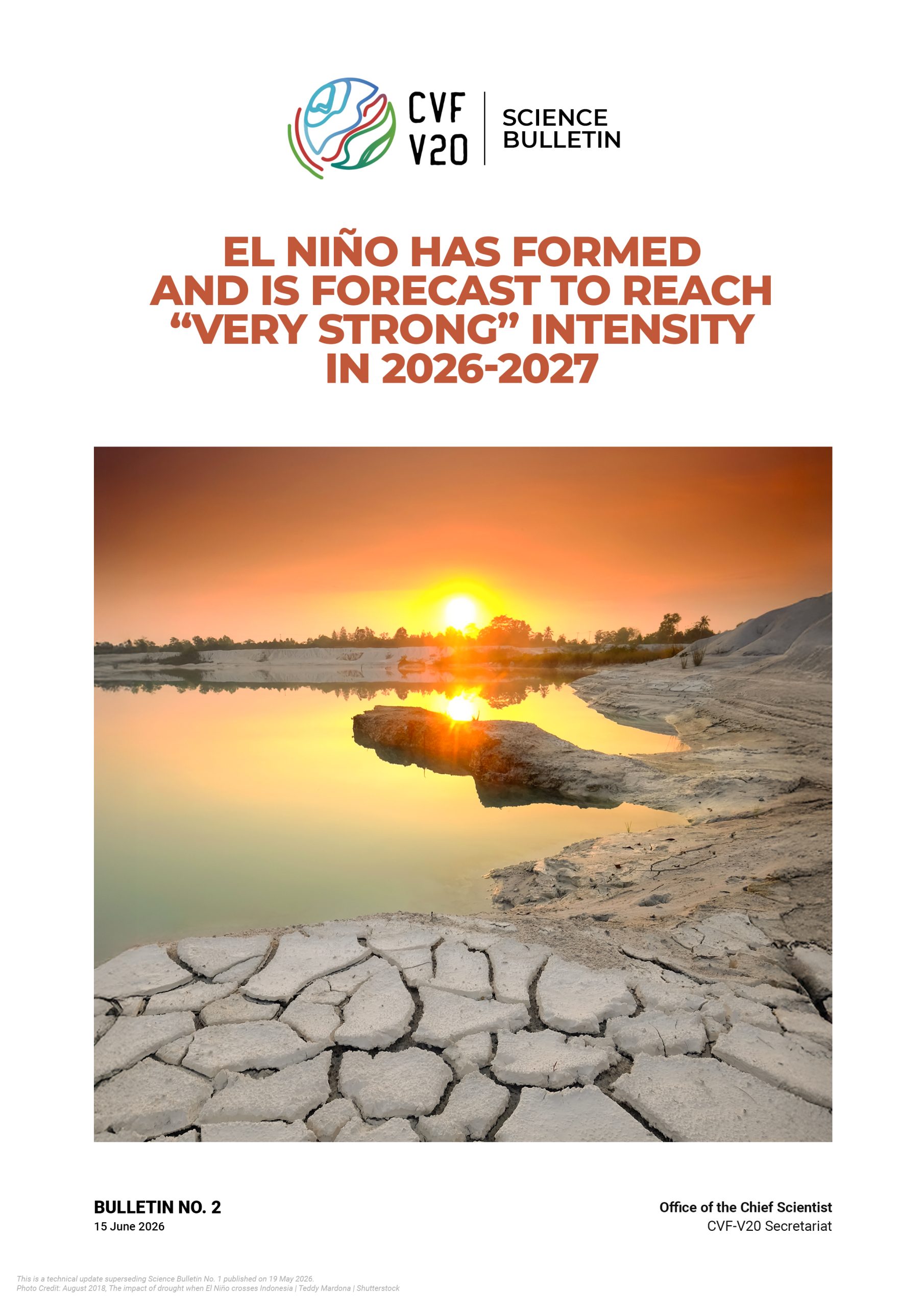
El Niño has formed and is forecast to reach “very strong” intensity in 2026-2027
El Niño has officially formed. On 11 June 2026, the National Oceanic and Atmospheric Administration (NOAA) upgraded its outlook from an El Niño Watch to an El Niño Advisory and now puts the odds of a “very strong” event at 63 percent, up sharply from the roughly 1-in-4 chance flagged in our last bulletin.
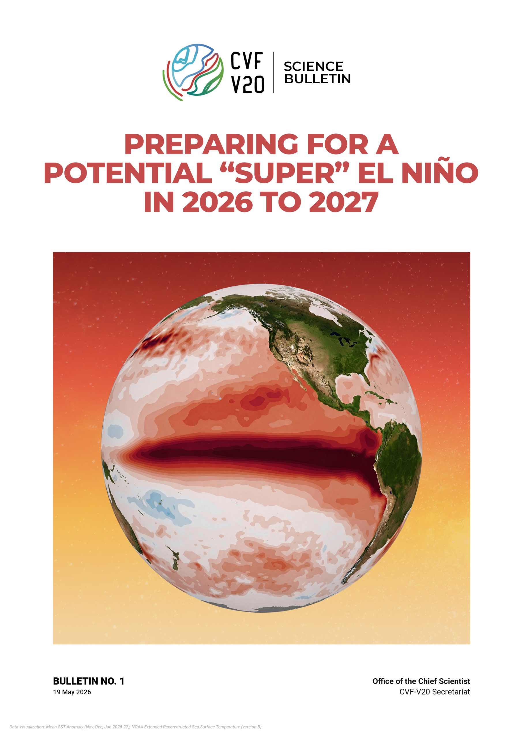
Preparing for a Potential “Super” El Niño in 2026 to 2027
A strong El Nino event is now highly likely to develop in the tropical Pacific between June and September 2026, and to persist through the Northern Hemisphere winter of 2026 to 2027. There is a real, though not certain, possibility that this event will reach “super” El Nino intensity, a category previously seen only in 1982 to 1983, 1997 to 1998, and 2015 to 2016.

NOAA now gives an 83 percent chance that this El Niño becomes the strongest on record
The National Oceanic and Atmospheric Administration (NOAA) has raised the chance of a historic event exceeding every El Niño since 1950 to 83 percent, up from 75 percent in September and 69 percent in August. It now puts a very strong event at 100 percent through October to December. The World Meteorological Organization (WMO) consensus expects the event to peak around December and persist through February 2027. September 2026 was 1.63°C above pre-industrial, the second-warmest September on record, with the highest September sea surface temperature ever measured.
Impacts will outlast the ocean peak by more than a year. The failed rainy season in Sudan, South Sudan, northern Ethiopia and Eritrea now overlaps with flood risk in the southern Greater Horn. The Famine Early Warning Systems Network (FEWS NET) places the peak of southern African food needs in the November 2027 to March 2028 lean season. This bulletin supersedes Science Bulletin No. 6.

El Niño Impacts Dashboard for CVF-V20 Members
A new public dashboard from The Climate Brink, released on 28 September, lets each CVF-V20 member see how its own region fared in the eight strong El Niños since 1957. It also shows what 13 seasonal forecast systems from the National Oceanic and Atmospheric Administration (NOAA) and Copernicus expect this season, along with a short summary of the published research. The historical signal is strong. Across 26 mapped regions, 86 percent of region-events went as expected, and in the two largest eastern Pacific events, 1982–83 and 1997–98, every region did.

NOAA gives 75 percent chance that this El Niño becomes strongest on record
The National Oceanic and Atmospheric Administration (NOAA) continues to give a greater-than-90-percent chance of a very strong El Niño through the Northern Hemisphere fall and winter, and has raised the chance of a historic event exceeding every El Niño since 1950 to 75 percent, up from 69 percent in August. Ocean warming continues toward that threshold, and August 2026 is already tied as the warmest month ever recorded, at 1.65°C above pre-industrial.

The Earth’s Energy Imbalance and the Reflectivity Crisis
The planet has become measurably darker, absorbing more sunlight and heating up faster as a result. The Earth’s energy imbalance (EEI) has climbed from about 0.5 W/m² in the 2000s to roughly 1.0 W/m² over 2013–2022, confirmed independently by satellite and ocean-heat data.
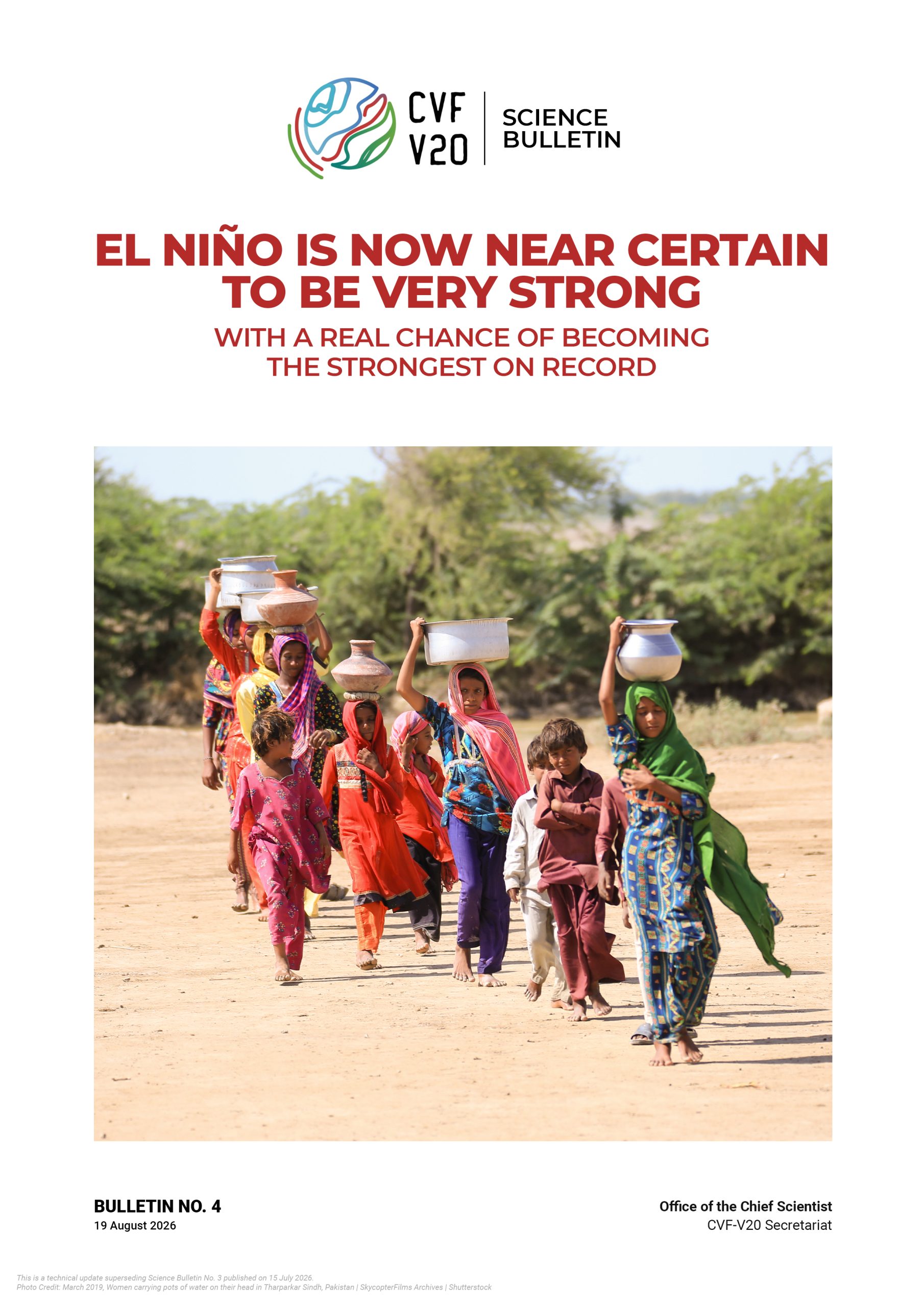
El Niño is now near certain to be very strong, with a real chance of becoming the strongest on record
El Niño is now near certain to be very strong, with a meaningful chance of becoming the strongest event in the modern record. In its 13 August 2026 ENSO discussion, NOAA puts the chance of a very strong El Niño in fall and winter 2026–27 at more than 90 percent, with a 69 percent chance of an event exceeding every El Niño since 1950.
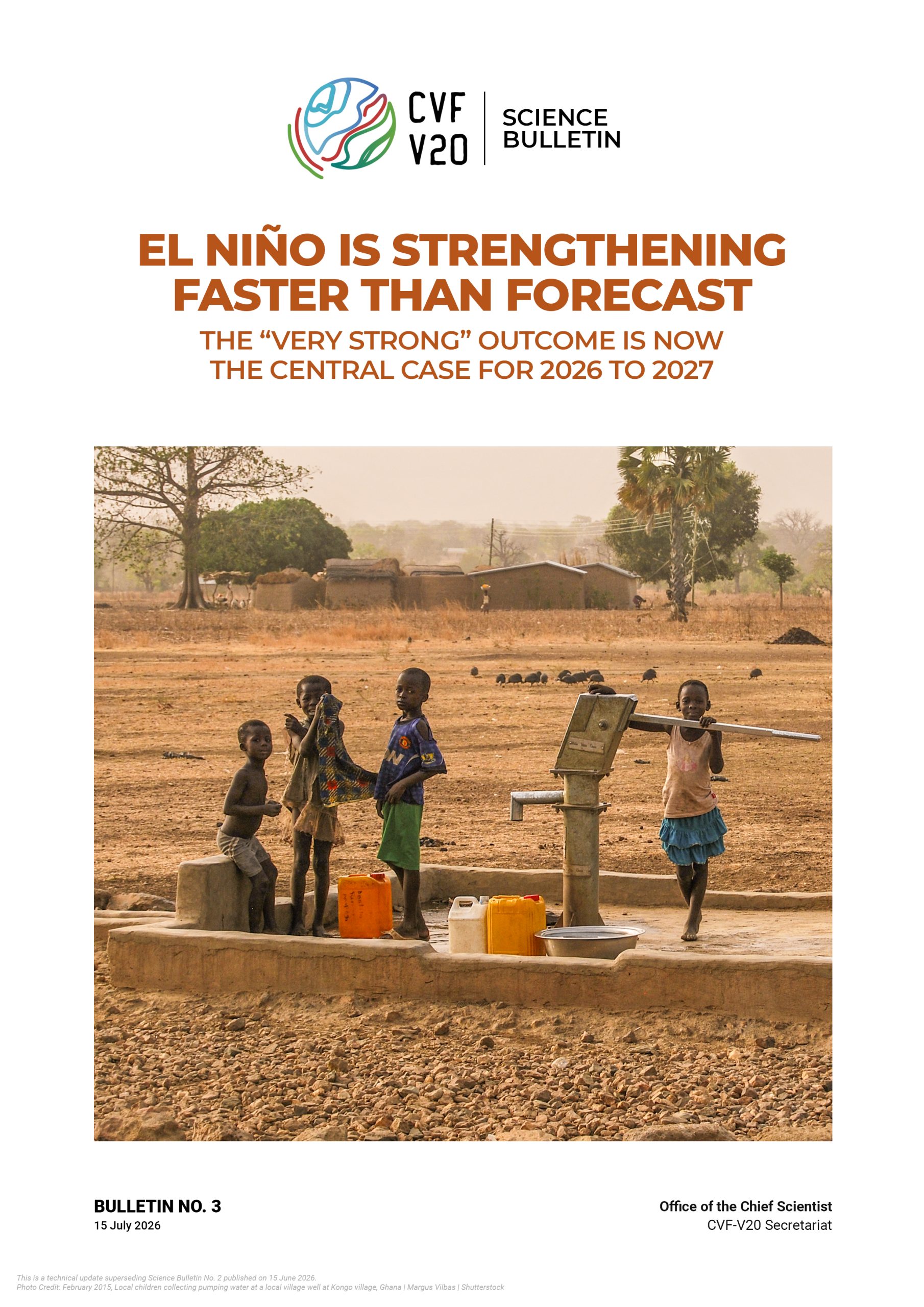
El Niño is strengthening faster than forecast
El Niño is strengthening faster than the June outlook anticipated. In its 9 July 2026 ENSO Diagnostic Discussion, NOAA maintained the El Niño Advisory and raised the odds of a “very strong” event to 81 percent, up from 63 percent just one month ago, with the Niño-3.4 sea surface temperature anomaly now expected to exceed +2.0°C at an October–December peak, a month earlier than previously projected.